[anyclip pubname=”2122″ widgetname=”0016M00002U0B1kQAF_M8171″]
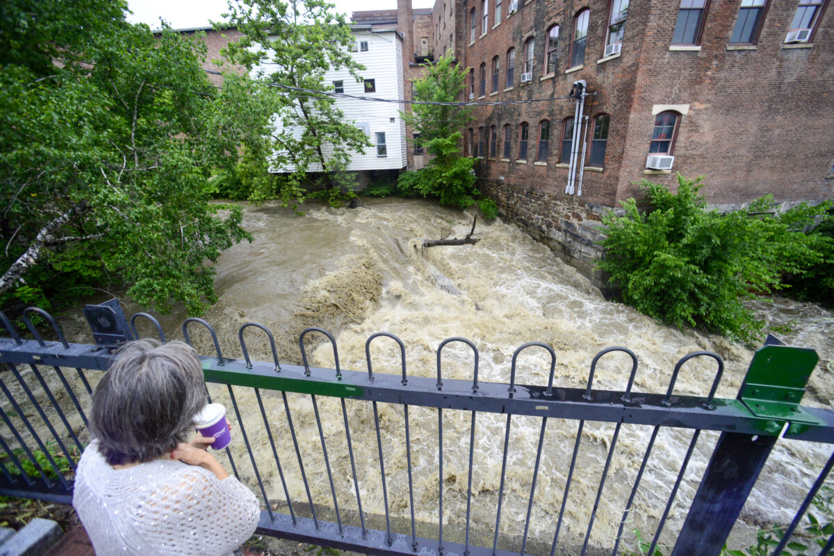
Vermont is in the midst of a storm that could deal “catastrophic flooding” — and golf courses are feeling the wrath.
Forecasters aren’t mincing words, comparing the possible effects to tropical storm Irene that in 2011 dumped 11 inches of rain, caused hundreds of millions in damages and claimed seven lives.
Marlon Verasamy, a meteorologist at the National Weather Service’s Burlington office, said the reason for the austere tone is because they want Vermonters to take this storm seriously.
By 9 a.m. on Monday some parts of southern Vermont had received 5 inches of rain over the previous day and night. A swift water rescue was deployed to bring 10 people out of a flooded campground and Ludlow was completely shut down due to widespread flooding over many of its roadways.
While much of southern Vermont and some of the eastern parts of the state already had significant impacts by Monday morning, the large-scale system was expected to move northward bringing more rain and flooding to Chittenden County into the afternoon.
That led Weather Channel meteorologist Jim Cantore to tweet about The Quechee Club’s Lakeland Course, which features water on 17 holes. It was under deluge on Monday. The same course was damaged by Hurricane Irene in 2011.
No golf today at Quechee and likely for the rest of the month at least here on 9th and 10holes at Lakeland. My brother Vincent sent me this video! #vtwx pic.twitter.com/W21X115l8o
— Jim Cantore (@JimCantore) July 10, 2023
In eastern Chittenden, east of the Browns River and including parts of Essex and Richmond, a flash flood warning was in effect until 1:15 p.m. In that area 2 to 3 inches of rain was expected to fall during the day, with 1 to 2 more inches overnight.
In western Chittenden County, a flood watch was in effect until 8 p.m. This area was expected to receive between 1 and 2 inches of rain during the day, and the same overnight.
The entrance to Okemo Mountain Resort in Ludlow, Vermont right now as heavy rain continues. Video by my friend Pat Moore. pic.twitter.com/oBle9RL9qj
— Tyler Jankoski NBC5 📺 (@TylerJankoski) July 10, 2023
For Monday in Chittenden County, localized flooding and ponding on roadways was expected. Verasamy said the National Weather Service was keeping a particular eye on the Winooski River which was beginning to rise and expected to hit flood stage, cresting at moderate flood stage by mid-day Tuesday. So while roads and homes were expected to be affected on Monday, the rivers overflowing their banks was the big concern for Tuesday.
Parts of the county could receive 6 inches of rain over the course of a couple days. As the region has had a good amount of rainfall recently, a higher water table means the flooding risk is greater and more widespread.
Serious, life-threatening flooding is occurring today across much of Vermont. Emergency crews have conducted rescues in multiple communities. About two dozen state roads are closed as of 10AM. Flash flood warnings are in effect from the Massachusetts line to the Canadian border. pic.twitter.com/09ryZ1N7bR
— Vermont State Police (@VTStatePolice) July 10, 2023
Contact reporter April Barton at abarton@freepressmedia.com or 802-660-1854. Follow her on Twitter @aprildbarton.
